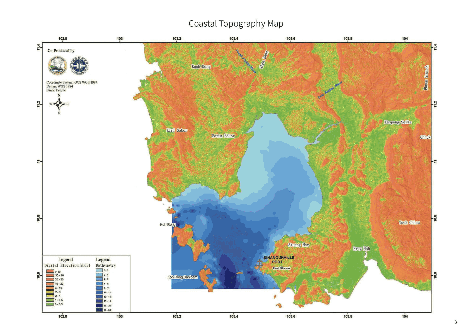
Marine Geological Map
The objectives of the Kampongsom Bay coastal geo-environmental study are to establish coastal monitoring systems and assess risks related to groundwater, erosion, land subsidence, saltwater intrusion, and wetland degradation. Selected key coastal areas will serve as case studies to enhance awareness of environmental stress and disaster reduction.
Joint coastal-offshore investigations will support geological and geophysical mapping, including gravity and magnetic anomalies, heat flow, seismic tomography, and sediment distribution. Additionally, permanent and temporary seismic stations will be deployed to fill data gaps in deep structure studies.